1893 started off with shocking news out of Meadows, published in the January 10 Idaho Daily Statesman. I’m not sure how much of the following is a direct quote or my own notes, but it seems to be directly quoted from the newspaper account.
Murder at Meadows – John Dickerson Stabbed Four Times. His Assailants Finish Him by Mashing His Head With a Rock. J. L. Ward, of this city, yesterday received particulars of the murder of John Dickerson, a prominent mining man, at Meadows, Idaho county, on the morning of Tuesday, January 4th. The affair grew out of an altercation between a man named Sam Evans and Jim Perkins. Evans struck Perkins over the head with a revolver. Dickerson interfered in some manner and was knocked down by Perkins.
Frank Perkins, Jim’s brother, then entered the melee and, drawing a knife, stabbed Dickerson four times. As he fell Jim Perkins struck him in the head with a rock, killing him instantly. The rock took the top of Dickerson’s head completely off and his brains were scattered about on the floor.
The Perkins boys left town, but were afterwards captured and taken to Mt. Idaho and jailed. The murdered man is vice president of the Alliance mine at Rapid river, 35 miles from Meadows, and a partner in mining matters of H. F. Johnson, state senator from Washington county, who is now in the city. End of article.
H.F. Johnson, of course, was Hannibal “Seven Devils” Johnson, the poet/ newly-elected Senator. He was sitting on six different Senate committees at the time.
Weiser Signal., January 26, 1893: “Snow on Secesh summit, on the state wagon road, is reported to be but five feet in depth. The mail from Meadows to Warrens is going in on snow shoes. Last week for the first time mail from Weiser for that camp was sent out on the Salubria stage instead of the train going to Pendleton, Oregon.”
The above item illustrates a situation that would persist for decades, to one extent or another. Because the mountainous terrain north of Meadows Valley was so challenging, a decent road was not built linking northern and southern Idaho for a long time. The only real alternative for wagon or train transportation from southern Idaho to more northern parts of the state (even Lewiston or Grangeville) was a wide detour through Oregon and Washington.
In February the Weiser Signal reported on the government’s efforts to deepen the Snake River so that steam ships could travel it. The Signal said a $20,000 appropriation had financed the project, which included the use of 600 pounds of blasting powder in one recent blast. All such efforts ultimately failed to provide a navigable channel.
On February 23rd, George Gould married Viola Duree, and they settled into their home on Cottonwood Creek.
In March the Idaho Free Press continued to promote supplying the Warren gold camp area from Grangeville instead of the new wagon road from Payette Lakes. The following article refers to an iron bridge that was built around this time at the mouth of French Creek, a few miles downstream from the Wire Bridge. The article:
“Owing to the absence of a bridge across Salmon river the state wagon road has been a detriment to Camas Prairie for the last two years and diverted all the Warrens trade to the Weiser side of the mountains. But the completion of an iron bridge across the Salmon and the repairs that will be put on the road this spring will again send the great bulk of that trade this way. The grades up and down the Salmon river canyon are easier than the grades over the Secesh summit. The Prairie route is also 1,500 feet lower than the Secesh route, which means that the route to the Prairie is open to travel for freight a month earlier in the spring and a month later in the fall than the Secesh route. Moreover, the sun never shines in the gut between the Big and Little Payette lakes until midsummer, and the snow piles up there to a depth of 20 feet, which remains unmelted till June or July. And then there are the delays, difficulties, and sometimes dangers, to be encountered in fording the treacherous quicksands of the north fork of the Payette and in traversing its wet and swampy meadows, all of which form a great contrast to the dry, hard and always practicable route over the table lands which lead to Grangeville.”
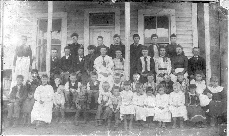
By this time, the Council area had at least three schools: Upper Hornet, which would have been what we call Upper Dale; “Lower Council,” which would have been nearly a mile north of the present town on North Galena Street; and “Upper Council,” which would have been the White School on the northeast corner of what is now Lappin Lane and Highway 95.
In March the Idaho Citizen referred to “the Hawkins building” in Council where Billie Haas was stocking a store. I don’t know where this store would have been, but there were only a few buildings in what would become the town at this time.
Next week: The “Panic of 1893” begins.
100 years ago
February 18, 1926
Glasby and Niemeyer plan to install a refrigerating and ice making plant in their meat market. It will mean changes to their big cooling rooms and will be operated either by gas engine or an electric motor. “In addition to furnishing below freezing refrigeration for their meats, they will also have ice for sale at all times.”
Goodrich – “Looks like spring is here, as spring birds are coming. Some are here now, such as blackbirds, killdeers.”
75 years ago
February 15, 1951
Died: Lucretia Alexander, 77, formerly of the Hog Creek area.
The Northwest Gypsum Company has started a mining operation in Hells Canyon. “A road nearing completion at a cost of $105,000, from Huntington Bridge along the Idaho side of the river, will carry equipment and mine output.” The company expects to produce gypsum fertilizer.
49 years ago
February 14, 1977
The Lookout Club celebrated their 60th anniversary.
Engaged to marry: Dan Warren and Debbie Ward.
25 years ago
February 8, 2001
The Army Corps of Engineers has revisited the proposal to rebuild Galloway dam. “As last formally proposed, the Galloway was a 300-foot-high structure spanning the width of the Weiser River Canyon about 300 yards upstream from the existing Galloway diversion East of Weiser. It would impound some 900,000 acre-feet of water in a reservoirs spread over about 8750 acres.” Local opinion of the project has been negative.